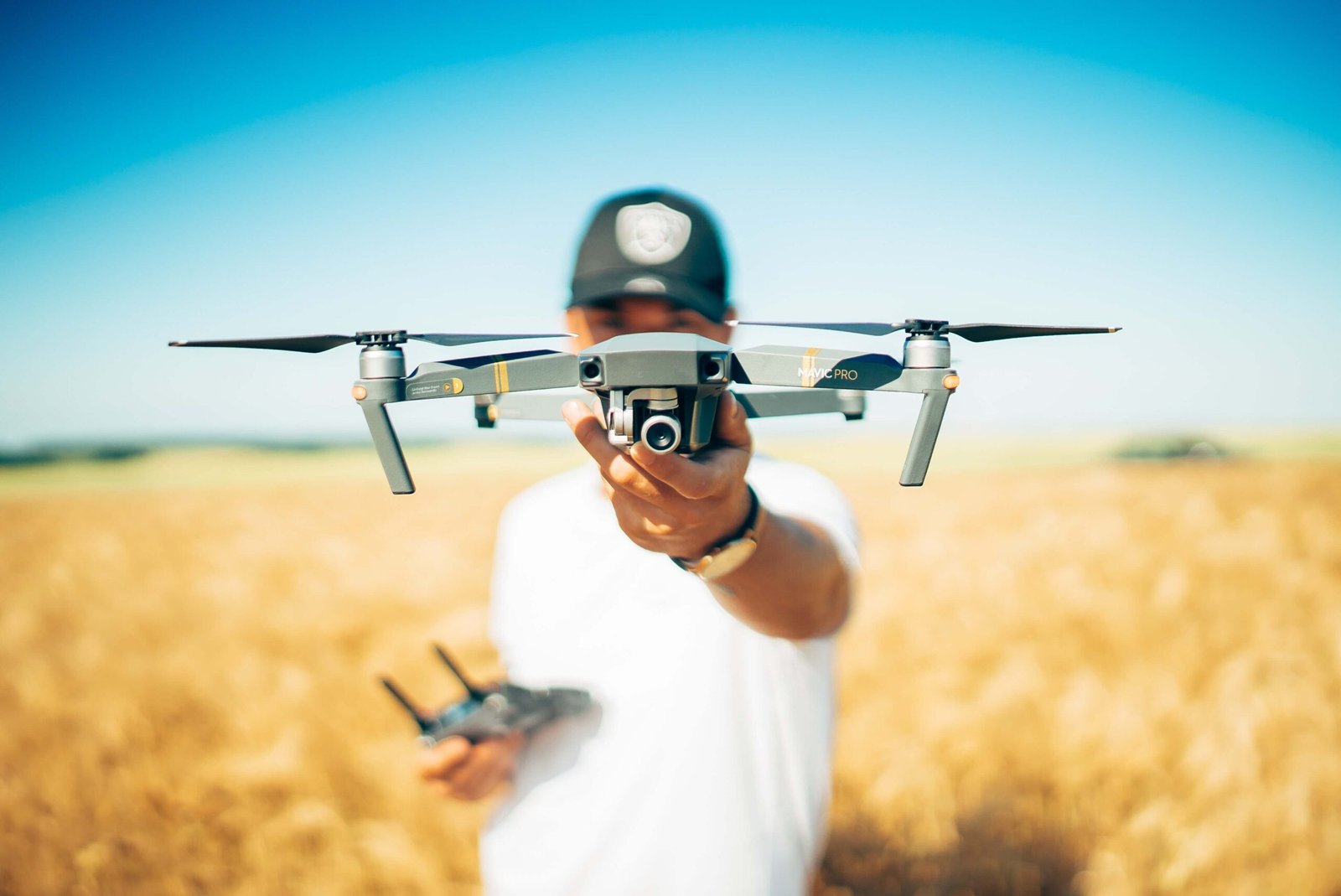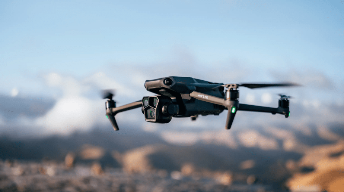
Flying a drone isn’t just about having a good drone—it’s also about having the right apps. Whether you want to map farmland, track your flights, or stay safe in the sky, the best drone pilots use mobile apps to boost their skills. Just like a car needs a GPS, a drone pilot needs reliable apps to fly smarter and safer.
In this article, we’ll explore the top drone apps used by professionals and students at Drone Universities. These apps help with everything from planning routes to avoiding no-fly zones. We’ll also explain how apps tie into training, certifications, and even job opportunities.
Let’s get started and turn your phone into your smartest drone tool!
Why Drone Apps Are a Must-Have for Every Pilot
Imagine trying to fly an airplane without a dashboard. That’s what it’s like flying a drone without using apps. You might be able to take off, but you won’t know where you’re going, how high you’re flying, or whether you’re even allowed to fly there.
Drone apps help you:
- Plan safe and legal flights
- Track and record your flight data
- Capture better images and videos
- Avoid no-fly zones and restricted airspace
- Understand wind, weather, and battery life
At Drone Universities, instructors teach students how to use drone apps during training. That’s because flying today isn’t just about manual control—it’s about smart flying. If you’re preparing for the FAA Part 107 exam, you’ll also need to understand how to use apps for airspace awareness and compliance.
Apps turn your drone into a professional tool. And if you want to stand out as a certified drone pilot, you need to know how to use them the right way.
Top Mapping Apps to Turn Your Drone into a Survey Tool
Mapping is one of the most in-demand drone services today. From agriculture to construction, companies need accurate maps—and drones make that faster and cheaper. But without the right app, even the best drone can’t create a proper map.
Here are the best mapping apps every drone pilot should know:
- DroneDeploy – Easy-to-use app for creating 2D and 3D maps. Perfect for beginners and pros.
- Pix4Dcapture – Great for more advanced pilots looking to turn images into detailed 3D models.
- Litchi – Not only for mapping, but also lets you program advanced flight paths with ease.
These apps let you fly your drone in automated patterns. The drone takes photos at set intervals, and the app turns them into high-resolution maps. You can use these for land surveys, crop health reports, or building inspections.
Drone Universities includes mapping training in advanced courses like GIS/Mapping and Agricultural Drone Operations. You’ll get hands-on practice using real drones and real apps in real-world conditions.
Knowing how to map isn’t just cool—it can land you a job.
Best Flying Assistant Apps to Improve Your Flight Performance
Sometimes flying a drone feels like juggling—balancing speed, altitude, battery life, and wind. That’s where flying assistant apps come in. They give you control, confidence, and a clearer view of your flight.
Some popular flying apps include:
- DJI Fly – Ideal for newer drones like DJI Mini or Mavic. Simple, but powerful.
- Autel Explorer – Works with Autel drones and includes advanced camera controls.
- Litchi – Excellent for setting pre-planned flights and tracking objects during flight.
These apps allow you to:
- Set waypoints and pre-set routes
- Adjust camera angles and shutter speed
- Track flight data in real-time
- Monitor signal strength, GPS lock, and more
At Drone Universities, you won’t just learn to push buttons—you’ll understand why each function matters. Whether you’re filming a commercial or flying over a bridge for inspection, flying with an assistant app keeps things smooth and professional.
Must-Have Apps for Airspace Awareness and FAA Compliance
One of the most important parts of being a drone pilot is knowing where you can fly. The sky isn’t a free-for-all—there are zones where drones can’t go, like near airports, stadiums, or emergency scenes. If you break those rules, you could face big fines—or worse.
That’s why every drone pilot needs airspace awareness apps like:
- B4UFLY by the FAA – Shows you if it’s safe to fly in your current location
- AirMap – Offers real-time airspace alerts and helps request permission to fly
- Kittyhawk (now Aloft) – Combines safety, flight logging, and LAANC authorization in one place
These apps are essential if you’re studying for the FAA Part 107 test, which covers topics like airspace classification and weather. Drone Universities makes sure every student is trained on how to use these tools during class.
Want to fly like a pro? Start by flying legally. These apps make it easy to follow the rules and fly with confidence.
Safety First: Apps That Help You Avoid Accidents and Issues
Flying a drone is exciting, but it also comes with responsibilities. Crashing into trees, buildings, or people can be dangerous—and expensive. That’s why safety apps are so important. They help you fly smart, stay alert, and make good decisions before and during each flight.
Here are some of the best safety-focused apps for drone pilots:
- Hover – Combines weather forecasts, no-fly zones, and flight logs into one helpful app
- UAV Forecast – Tells you if it’s safe to fly based on wind speed, GPS strength, visibility, and more
- Skyward – A complete solution for flight planning, logging, and airspace compliance used by companies and solo pilots
These apps give you real-time data that help you avoid risky flights. For example, if strong winds are coming or your GPS signal is weak, the app will tell you not to launch.
At Drone Universities, safety is always a top priority. In every course—from beginner to advanced—students are trained to use safety apps before takeoff. You’ll also learn how to use these tools in situations like search and rescue missions or when flying near crowds or buildings.
Being a safe pilot means being a smart pilot—and these apps help make that possible.
Drone Universities’ Recommended App List for Students
When you sign up for training at Drone Universities, you don’t just get expert instruction—you also get a guide to the best apps to use. These aren’t random downloads. They’re the tools that professionals rely on every day.
Here’s a look at some of the apps Drone Universities recommends to its students:
| Category | App Name | Purpose |
|---|---|---|
| Flight Planning | DJI Fly / Litchi | Manual control and waypoint flying |
| Mapping | DroneDeploy | Creating 2D and 3D maps |
| Airspace Awareness | B4UFLY / Aloft | FAA compliance and airspace alerts |
| Weather & Safety | UAV Forecast / Hover | Fly/no-fly weather reports |
| Logging & Tracking | Kittyhawk / Skyward | Flight logs, data storage, compliance |
These apps are part of your learning experience. Instructors show you how to install, use, and get the most out of each one. By the time you graduate, you’ll not only be a licensed drone pilot—you’ll be a tech-savvy professional who knows how to use the best tools in the industry.
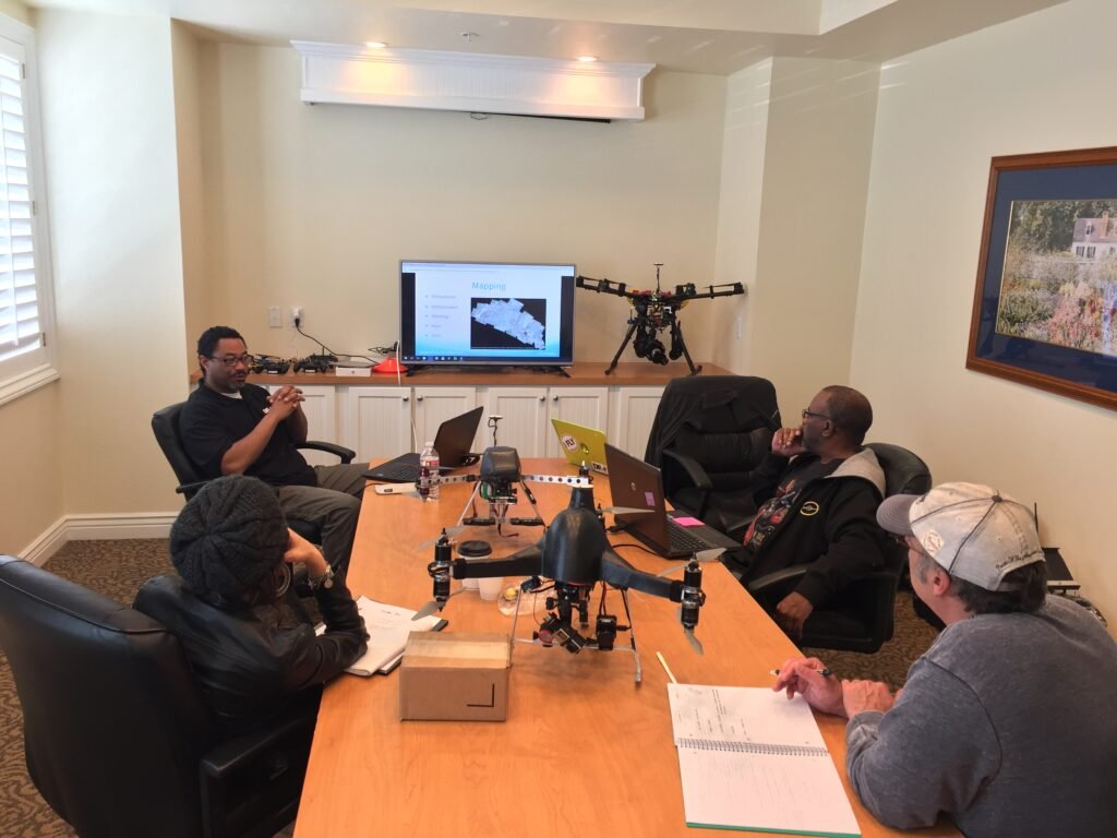
And with hands-on training in over 50+ U.S. cities, you can practice using these apps in real-world scenarios, not just from your couch.
How Drone Apps Help with FAA Part 107 Exam Preparation
Many students worry about the FAA Part 107 knowledge test. It covers weather, charts, safety rules, and airspace types. Sounds complicated? It can be—but using the right apps makes it easier.
Here’s how drone apps help you study smarter:
- B4UFLY teaches you about restricted airspace and flying zones
- UAV Forecast helps you understand METAR weather reports
- Kittyhawk shows how to submit LAANC (airspace access) requests
- Flight log apps help you track hours and build a portfolio for jobs
At Drone Universities, you’ll use these tools as part of your training. Instructors explain how each app connects to test questions, so you learn by doing, not just reading.
Passing the FAA Part 107 is easier when you practice with real-world apps that give you instant feedback and experience.
Mobile Flight Planning vs Desktop: Which is Better?
One question drone pilots often ask is: “Should I plan my flights on my phone or my computer?”
The truth is, both have benefits:
- Mobile Apps:
- Great for quick field planning
- Easy to carry and use on location
- Sync with your drone in real-time
- Desktop Platforms:
- Better for large or complex missions
- Easier to analyze mapping data and build 3D models
- More screen space for reviewing terrain, airspace, and weather
The good news? Many of today’s top apps like DroneDeploy and Pix4D offer both desktop and mobile versions. You can start a plan at home and finish it at the job site.
Drone Universities teaches both methods. You’ll learn how to plan a mission on your laptop, upload it to your mobile app, and run it smoothly with your drone. This dual approach prepares you for field work in agriculture, construction, or inspections—whatever path you choose.
Using Drone Apps in Specialized Fields Like Agriculture and Inspections
Different industries require different drone tools—and apps are a big part of what makes specialized flying possible.
Here’s how drone apps are used in real jobs:
Agriculture
- Apps like Sentera and DroneDeploy are used to check plant health with multispectral imaging.
- Farmers can spot problems early and increase crop yield.
Construction and Inspections
- Pix4D and Litchi help plan missions to check roofs, towers, and structures.
- Engineers get detailed reports without needing to climb ladders.
Emergency Services
- Kittyhawk is used by first responders to manage airspace during search and rescue missions.
- Real-time tracking helps save lives.
Drone Universities offers advanced courses tailored for each of these fields. You won’t just learn to fly—you’ll learn to apply drone tech where it matters most.
From mapping fields to inspecting power lines, the right app turns your drone into a job-ready tool.
What to Look for When Choosing a Drone App
With so many apps out there, how do you know which one to trust? Choosing the right drone app is like picking the right tool for a job. Some apps are made for fun, while others are built for serious, professional work.
Here’s what to look for:
- FAA Compliance: The app should follow all legal flight rules and support LAANC for real-time airspace approval.
- Ease of Use: A good app should have a clean layout, simple controls, and easy setup—even if you’re new to drones.
- Compatibility: Make sure the app works with your drone model (DJI, Autel, Skydio, etc.).
- Updates & Support: Regular updates mean the app stays accurate and reliable. Look for active customer support too.
- Features: Depending on your needs, look for apps with mapping, video editing, weather alerts, or flight logs.
Drone Universities helps students choose and test different apps during training. This hands-on experience helps you avoid wasting money on the wrong app. Instead, you get to use top-rated tools that professionals trust.
Common Mistakes Pilots Make When Using Drone Apps
Even the best drone apps won’t help if you use them the wrong way. Many new pilots make small mistakes that can lead to big problems—lost drones, broken laws, or bad footage.
Here are a few common errors and how to avoid them:
- Skipping Pre-Flight Checks: Apps can’t help if you don’t check your drone, battery, and GPS before launch.
- Flying Without Checking Airspace: Not using airspace apps like B4UFLY or Aloft can land you in legal trouble.
- Not Updating the App: Using an outdated version may cause bugs, glitches, or crashes.
- Ignoring Weather Alerts: If your app says “not safe to fly,” trust it. Wind and rain can damage your drone.
- Relying Only on Automation: Even with apps that fly for you, always stay alert and ready to take over.
Drone Universities teaches students how to avoid these mistakes with real-world drills and guided flights. You’ll learn how to use apps responsibly and get into smart habits early on.
Being a great pilot means using apps as tools—not crutches.
How Drone Universities Trains You to Use Industry Apps Like a Pro
At Drone Universities, drone apps aren’t just talked about—they’re used in every course. From the FAA Part 107 prep class to advanced industry training, you’ll get real flight time with the most trusted apps on the market.
Here’s how the training works:
- Classroom Lessons: Learn the theory behind app features—like reading maps, planning missions, and adjusting camera settings.
- Simulator Practice: Try the apps in a safe, controlled digital environment before flying real drones.
- Field Training: Fly actual drones using the apps you studied, with an instructor by your side.
- Project Work: Complete real-world assignments using flight logs, mapping tools, or survey apps.
By the end of your course, you won’t just know what an app does—you’ll know how and when to use it for jobs that pay.
That’s the Drone Universities advantage: full-circle training that includes the apps, the tech, and the career skills to succeed.
Real Success Stories: Students Who Leveraged Apps for Better Careers
Don’t just take our word for it. Many students who trained at Drone Universities have gone on to start amazing drone careers—thanks in part to the apps they learned to use during class.
James, a graduate from New Mexico, took the GIS and Mapping course. Using DroneDeploy and Pix4D, he now provides mapping services for farms and construction sites. His small business has grown into a full-time career.
Samantha, from Georgia, trained in aerial cinematography. By mastering Litchi and DJI Fly, she now works with real estate companies capturing stunning aerial videos of homes and neighborhoods.
Carlos, a firefighter in Colorado, used apps like Hover and Kittyhawk in Drone Universities’ public safety course. Today, he leads drone operations during search and rescue missions for his fire department.
These are just a few examples of how the right training—and the right apps—can launch a successful drone career. With the support of expert instructors, hands-on learning, and the best tech tools, you can do the same.
Free vs Paid Drone Apps: What’s Really Worth It?
Everyone loves a free app—but when should you invest in a paid one? The truth is, both free and paid apps have their place.
Free Apps:
- Great for beginners
- Often include basic flight info, maps, or weather
- Perfect for hobbyists or early learners
Examples: B4UFLY, UAV Forecast, DJI Fly (basic version)
Paid Apps:
- Offer advanced features like 3D mapping, automated flight paths, or full editing suites
- Often used by commercial pilots or businesses
- Include professional support and regular updates
Examples: DroneDeploy Pro, Litchi Pro, Pix4D, Skyward Enterprise
At Drone Universities, instructors help students compare options and pick the best app for their goals. In many cases, students start with a free version, then upgrade once they’re ready for more advanced missions.
When your drone becomes your career tool, the right app is a smart investment.
Final Tips for Building Your App Toolbox as a Drone Pilot
Your drone apps are part of your pilot toolbox—just like your drone, controller, and knowledge. The more useful tools you have, the better prepared you’ll be for any flight mission.
Here are some final tips:
- Keep your apps updated regularly
- Test them before real jobs or flights
- Use multiple apps together for better results (like planning + airspace + weather)
- Learn to troubleshoot problems before you’re in the field
- Practice using your apps in different conditions (windy days, urban areas, rural zones)
And remember: the best pilots don’t just fly—they plan, prepare, and protect. Apps help with all three.
Whether you’re flying for fun, studying for your FAA Part 107, or starting a drone business, the right apps can make your journey faster, easier, and more successful.
FAQs
1. Can I use drone apps without being FAA certified?
Yes, many apps work for both hobbyists and professionals. But for commercial use, you’ll still need to pass the FAA Part 107 exam.
2. Are all drone apps compatible with every drone brand?
No. Some apps are made specifically for DJI, Autel, or Skydio. Always check compatibility before downloading.
3. What’s the best app for drone mapping?
DroneDeploy and Pix4D are the top choices for creating 2D and 3D maps. They’re used in industries like agriculture, surveying, and construction.
4. Do I need internet access to use drone apps?
Some apps need internet for updates or live data. Others let you download maps in advance and fly offline.
5. Will Drone Universities teach me how to use these apps?
Absolutely. Drone Universities includes hands-on training with professional apps in all its advanced courses. You’ll get real experience before you even graduate.
Ready to start your drone career? Register now with Drone Universities