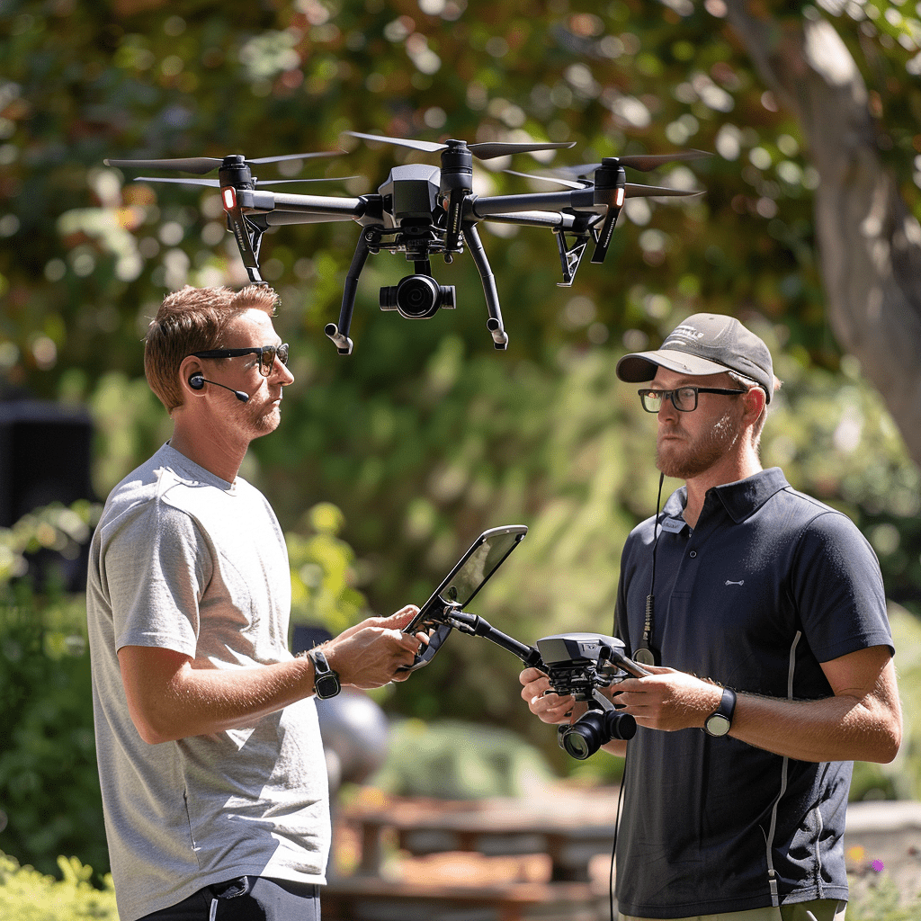
Drone GIS/Mapping Course
Transform Your Drone into a Powerful Mapping Tool
Our Drone GIS/Mapping course is designed to equip you with the skills needed to effectively collect and process aerial data for Geographic Information Systems (GIS). In just one day, you’ll learn how to execute successful mapping operations and produce professional-grade maps and models.

Why Choose Our Course?


Expert Instruction
Learn from experienced professionals who specialize in drone-based GIS and mapping.


Comprehensive Training
From planning and executing flights to data processing, our course covers every aspect of drone GIS/mapping.


Hands-On Experience
Gain practical skills through hands-on training sessions, ensuring you can confidently collect and process mapping data.
What You'll Learn


Flight Planning and Execution
Master the art of planning and conducting successful mapping flights, including programming flight patterns and achieving correct altitudes.


Camera Settings for Mapping
Learn how to set up your camera to capture the best possible data for GIS applications.


Data Processing
Understand how to process collected data and transform it into Orthomosaics, Digital Surface Models (DSM), and Digital Elevation Models (DEM).


Ready to Map the World?
Join us at Drone Universities and turn your drone into a powerful tool for GIS mapping. Our Drone GIS/Mapping course will give you the expertise to offer high-quality mapping services and expand your professional capabilities.
