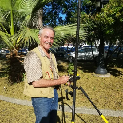
Paul Veisze has over 30 years experience in Geospatial Data and Technology. His undergraduate studies were in renewable natural resources at UC Davis; his graduate education was in forest ecology and wildland fire, with a Master of Forestry degree from UC Berkeley in 1985. Paul has worked in the private sector as an aerial photographer and pilot, and for federal and state agencies as a researcher and GIS manager, and as adjunct faculty in community college and at UC Davis Extension. Paul joined California State Parks in 2007 as its first Geographic Information Officer, responsible for policy and operations of the Department’s statewide, Enterprise GIS.
- Proponent, CA State Parks, FAA Certificates of Authorization, Statewide 2012 – present
- Chair, CRA Advisory Committee on Geographic Names, Sacramento, ‘99 – ‘01; ’13 –‘15
- Research Manager II (GIS), CA Office of Emergency Services 2004 – 2006
- Project Manager, Dept. Fish and Game (CDFG) Oil Spill Internet Map System, 2004
- Conference Chair, National Council of Geographic Names Authorities (COGNA), 2003
- OES Representative, GIS Committees: CMCC (CA), FGC3 (Federal), CA GIS Council
- GIS Project Mgr, CRA Rivers & Mtns Conservancy (RMC), Los Angeles, 2000 – 2002
- Research Program Specialist I (GIS), CA Dept. Fish and Game (CDFG), 1994 – 1999
- Research Analyst II (GIS), CDFG Inland Fisheries Div., Sacramento, CA, 1992 – 1994
- Project Mgr (Scientist III), EA Engineering, Sci. & Technology, Lafayette, CA, 1990 – 92
- Aerial Photographer/Pilot, Pacific Aerial Surveys, Oakland, CA, 1985 – 1988
- Research Specialist, University of California Berkeley, 1983 -1985


")