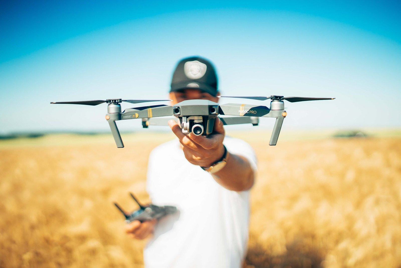
The traditional world of land surveying has undergone a dramatic transformation with the advent of drone technology. What once took weeks of ground-based work can now be accomplished in hours, with greater precision and detail. Let’s explore how drones are reshaping the surveying landscape.
Game-Changing Accuracy and Efficiency

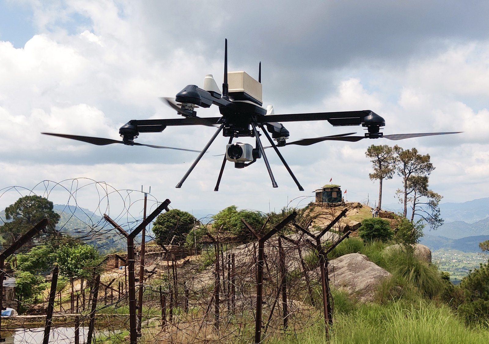
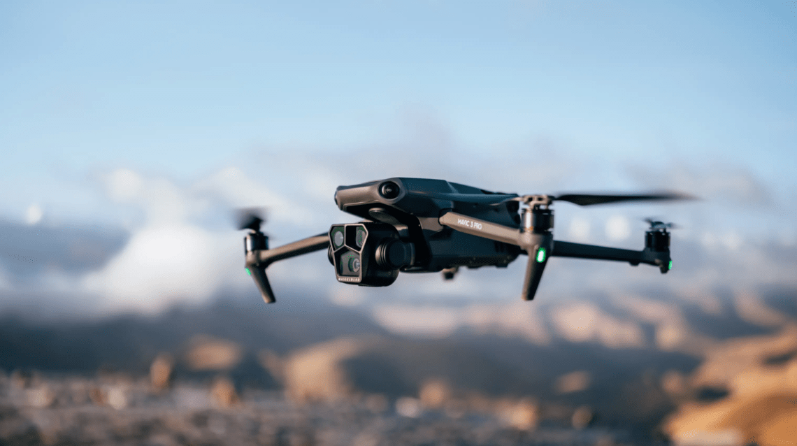
Modern surveying drones equipped with high-resolution cameras and LiDAR sensors can capture incredibly detailed terrain data. These aerial platforms collect millions of data points in a single flight, creating highly accurate 3D maps and models. The level of detail achieved would be nearly impossible with traditional surveying methods.
Real-Time Data Collection
One of the most significant advantages of drone surveying is the ability to gather real-time data. Surveyors can immediately view collected data, make quick assessments, and even perform repeat surveys if needed – all in the same day. This immediate feedback loop dramatically improves project efficiency and decision-making.
Applications Across Industries
Construction Planning
- Site analysis and planning
- Progress monitoring
- Volume calculations
- Safety inspections
Urban Planning
- Infrastructure assessment
- Development planning
- Traffic analysis
- Utility mapping
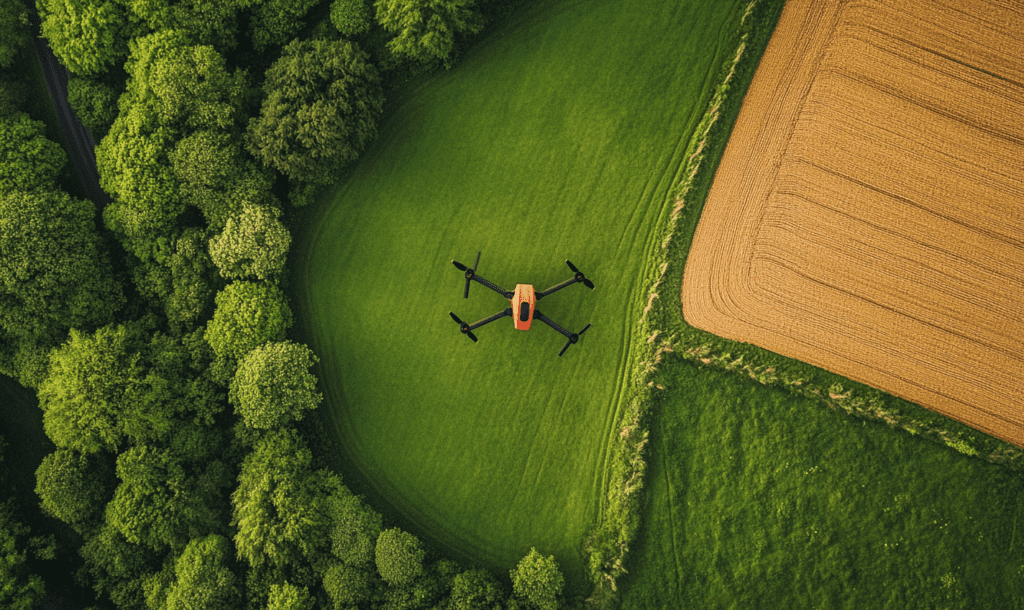
Environmental Studies
- Vegetation mapping
- Erosion monitoring
- Wildlife habitat assessment
- Environmental impact studies
Cost-Effective Solutions

While professional surveying drones require initial investment, they quickly pay for themselves through:
- Reduced labor costs
- Faster project completion
- Fewer site visits
- More comprehensive data collection
Advanced Mapping Technologies
Modern drone surveying combines several cutting-edge technologies:
- Photogrammetry for 3D modeling
- LiDAR for precise measurements
- GPS for accurate positioning
- AI for data processing
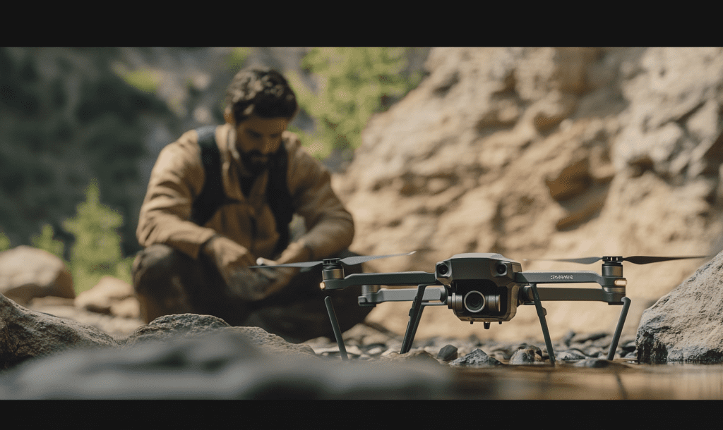
Best Practices for Drone Surveying
Planning and Preparation
- Check weather conditions
- Secure necessary permits
- Plan flight paths
- Set ground control points
Data Collection
- Maintain consistent altitude
- Ensure proper overlap
- Monitor battery levels
- Follow safety protocols
Post-Processing
- Use appropriate software
- Verify data accuracy
- Create detailed reports
- Store data securely
The Future of Aerial Surveying
As drone technology continues to advance, we can expect even more precise measurements, faster processing times, and new applications. Integration with AI and machine learning will further automate data analysis, making drone surveying even more efficient and accessible.
Getting Started with Drone Surveying
For professionals looking to adopt drone technology, it’s essential to:
- Obtain proper certification
- Invest in quality equipment
- Train in specialized software
- Stay updated with regulations
Through these technological advancements, drone surveying is not just changing how we map our world – it’s setting new standards for accuracy, efficiency, and cost-effectiveness in the surveying industry. As the technology continues to evolve, its applications will only grow broader and more sophisticated.