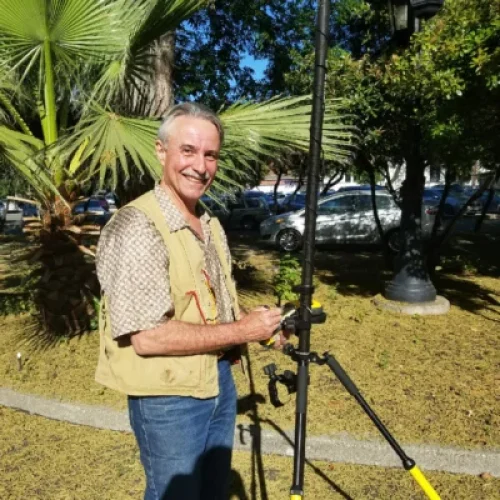
Walter Morawa is an experienced drone professional specializing in aerial imaging, mapping, photogrammetry, flight-planning technology, and land marketing. He began flying drones more than a decade ago while studying at Cornell University, where an entrepreneurship project exploring agricultural drone applications inspired him to pursue a career in the industry.
After college, Walter moved to Costa Rica and provided aerial imaging services for farms covering more than 1,000 acres. He also served as the original drone service provider for the Port of Moín construction project, gaining valuable experience supporting large-scale agricultural and infrastructure operations.
Walter later expanded into the technical side of the drone industry, working in project management and software development. His experience includes developing flight-planning tools and 3D reconstruction and photogrammetry software, giving him a comprehensive understanding of the entire drone-data workflow—from mission planning and image capture to processing and final delivery.
As the founder of Nimbus Drone Ventures, LLC, operating as Nimbus Flight and Plan Drone Flight, Walter provides drone services throughout the southeastern United States. He specializes in land and property marketing, combining aerial photography with detailed property notes, ground-level imagery, dash-camera footage, maps, panoramas, graphic design, and professionally edited videos.
His operational equipment includes an RTK-enabled Anzu Raptor, an NDAA-compliant Teledyne FLIR SIRAS thermal drone, a Skydio 2, DJI aircraft, and Insta360 cameras. He continues to expand his capabilities with GNSS equipment, high-resolution imaging systems, and LiDAR technology.
His core areas of expertise include:
- Commercial drone operations and mission planning
- Aerial mapping and photogrammetry
- Agricultural and construction imaging
- 3D reconstruction and drone software workflows
- Thermal imaging and RTK data collection
- Land marketing and real-estate media production
Walter brings a valuable combination of field experience, technical knowledge, and entrepreneurial insight to drone education. His practical perspective helps students understand how professional drone services are planned, executed, processed, and delivered to clients.